post_type:dossier
Array ( [0] => 91845 [1] => 91846 [2] => 91847 [3] => 91848 [4] => 91849 [5] => 91850 [6] => 91851 [7] => 91852 [8] => 91853 [9] => 91854 [10] => 91855 [11] => 91856 ) 1
size_articulos_ids: 12
Current ID: 91855
Current pos: 10
Articulo anterior: Mont Blanc: Líneas Escritas en el Valle de Chamouni
Articulo siguiente: El corazón de las tinieblas
prevID: 91854
nextID: 91856
anterior

Thomas Joshua Cooper

siguiente
The World’s Edge

Thomas Joshua Cooper. Looking South – Sudden Darkness, Just above the Arctic Circle, The Davis Strait, Sisimiut, Kong Frederik IX’ s Land, Kalaallit Nunaat – Groenland – Greenland, 2008. Courtesy of the artist and Haunch of Venison, London.

Un atlas del vacío y lo extremo

The World’s Edge – El proyecto de la Cuenca Atlántica

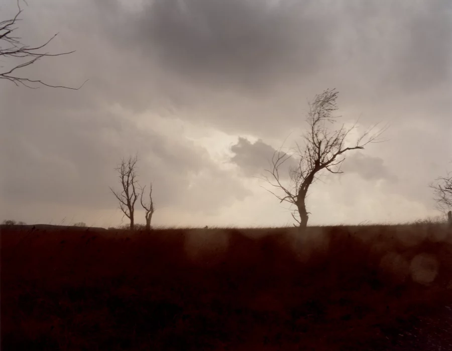
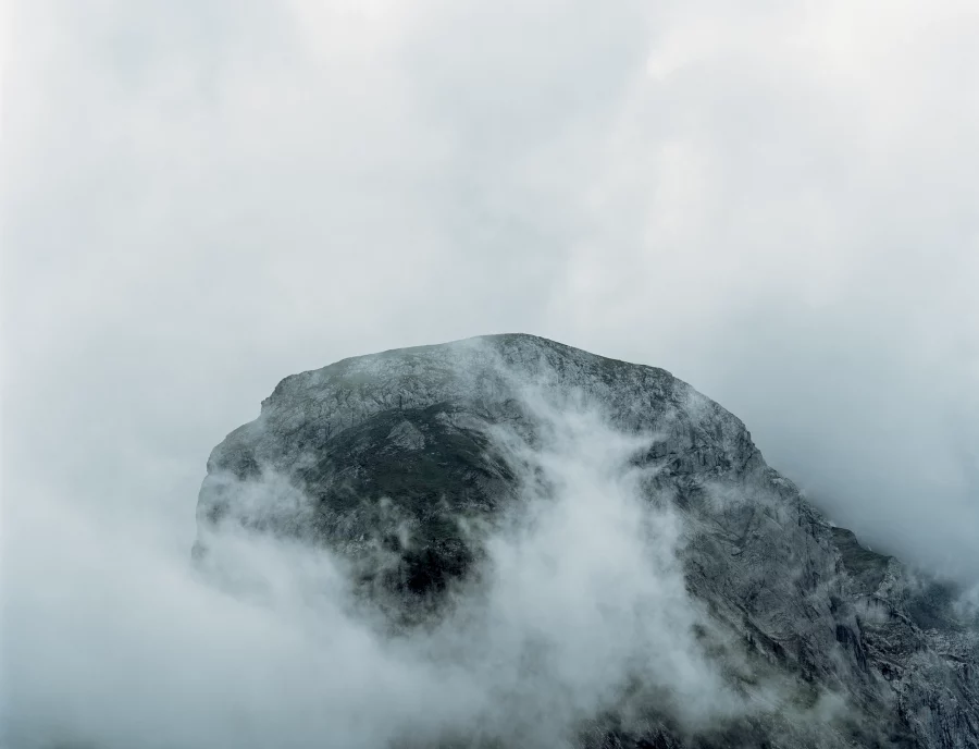
The World’s Edge Project es, como sugiere Allan Harkness en su ensayo Sojourns in the Archive: Photographs of the Atlantic Basin: “un proyecto de mapeo indexado, un archivo testimonial… Es una versión low-tech de una exploración del espacio exterior individual, un proyecto científico para enviar datos a nuestro futuro: sin embargo, en lugar de datos hay una experiencia oscura y enigmática del borde, del final, del límite. Se trata del lugar y de la memoria, de la identidad histórica y de los deseos y miedos contemporáneos –y finalmente del silencio y de la lentitud”.

Illustration
Thomas Joshua Cooper. Rolling Freezing Fog, The Arctic Ocean, Sea Ice, Sestrugi and Melt Lakes, The North Pole, 2007-08. Courtesy of the artist and Haunch of Venison, London.
Illustration
Thomas Joshua Cooper. “Uncharted Dangers” – Clear, Prime Head Ice Wall, Trinity Peninsula, Graham Land, The Antarctic Peninsula, Antarctica, 2008. Courtesy of the artist and Haunch of Venison, London.

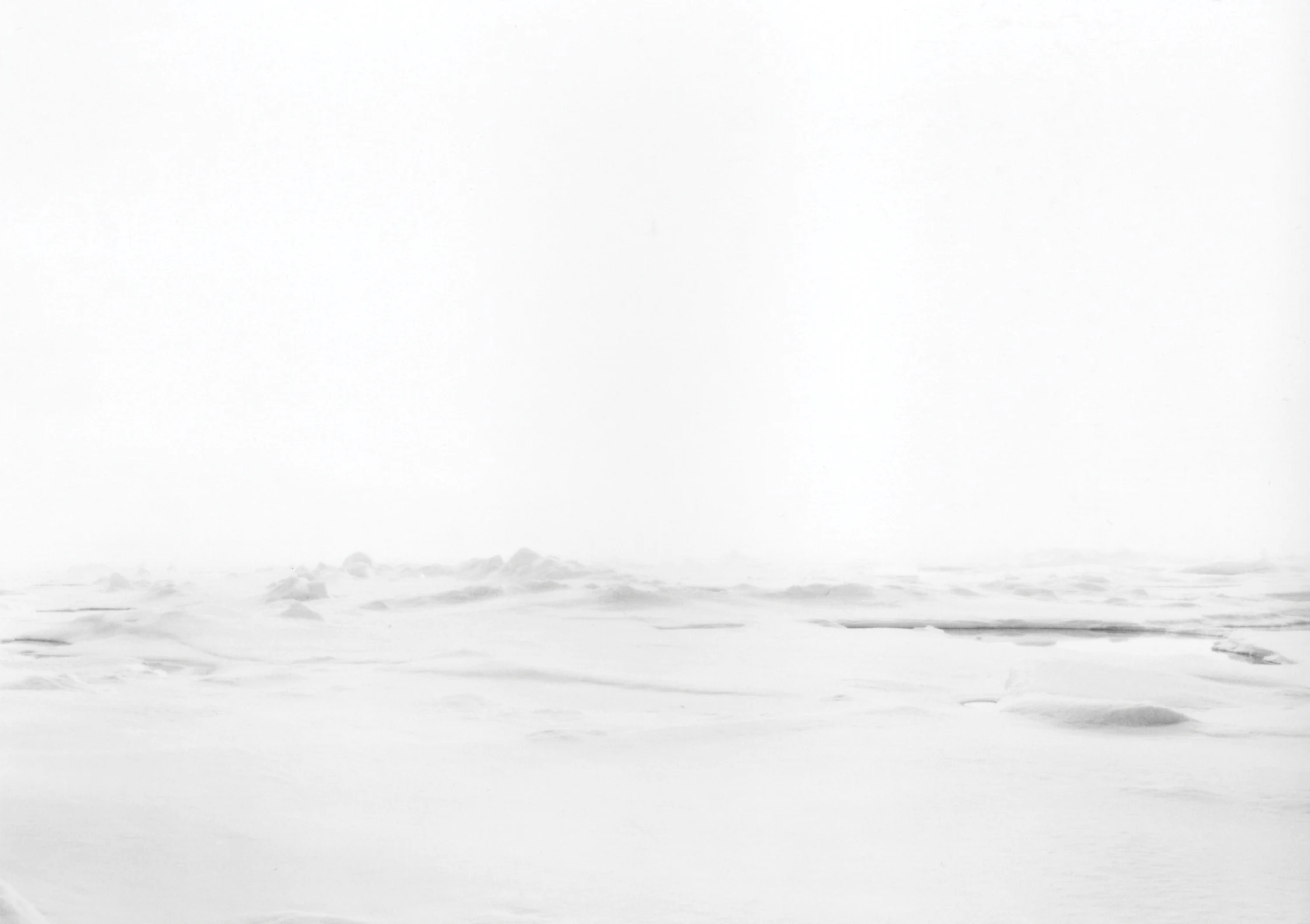
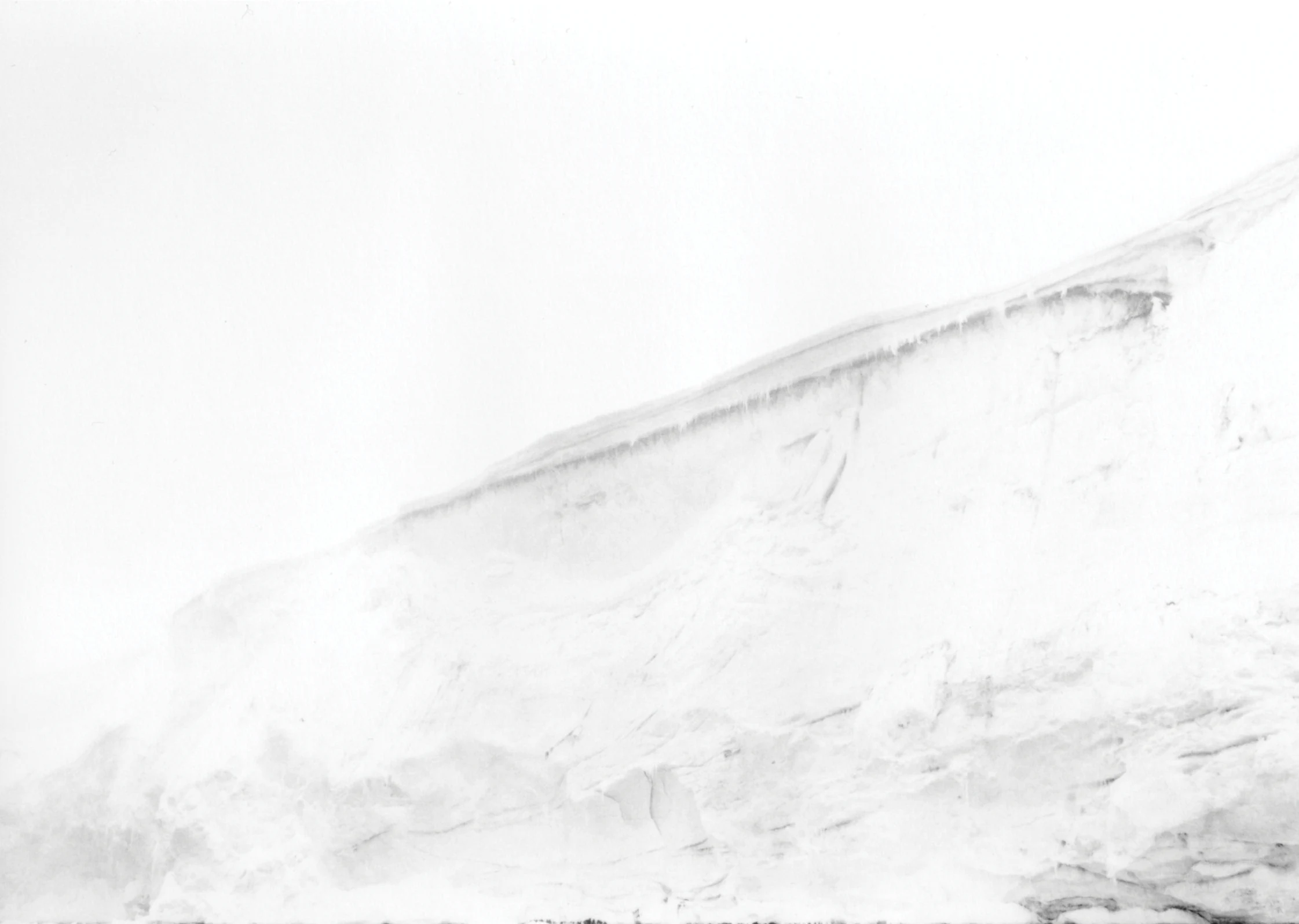
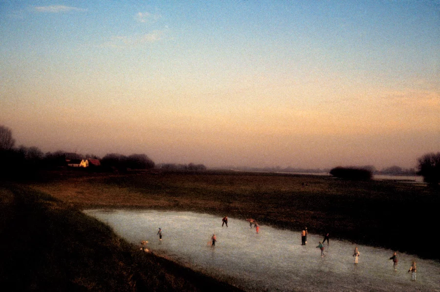
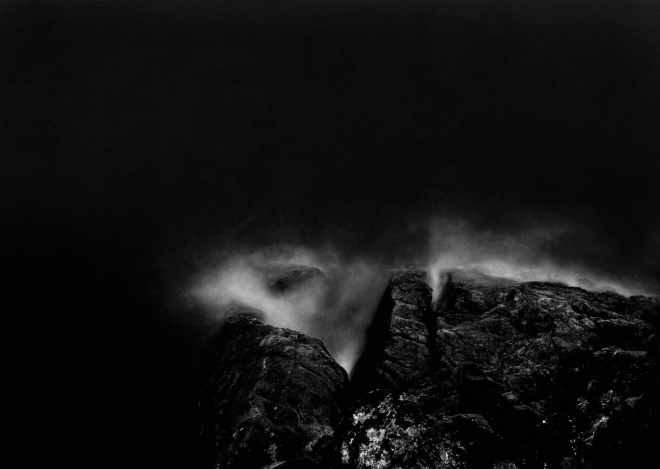
Este proyecto aprovecha lo geográfico, lo histórico y lo psicológico de la experiencia visual colectiva de “mapear fotográficamente” las extremidades terrestres y continentales de la Cuenca del Atlántico al revisar y comentar visualmente la “condición” del mar que las rodea. Buscar la ubicación, una actividad instintiva, no nos dice nada de inmediato sobre el espacio o lugar en particular. Mis fotografías están hechas en lugares generalmente reconocibles como espacios marítimos. Siempre son diferentes, pero este aspecto no es rápidamente inidentificable o reconocible, al igual que las huellas dactilares. Estos espacios pictóricos podrían ser cualquier lugar o estar en todas partes.

Illustration
Thomas Joshua Cooper. Looking Towards the Deep South, The Antarctic Circle, Crystal Sound, Bragg Island, Bisco Islands, Graham Land, Antarctica, 2008. Courtesy of the artist and Haunch of Venison, London.
Illustration
Thomas Joshua Cooper. “Uncharted Dangers” – Blanketing Dense Fog, The Bransfield Strait, The Mouth of The Antarctic Sound, Looking Towards Prime Head, Catherine Island, Antarctica, 2008. Courtesy of the artist and Haunch of Venison, London.
Illustration
Thomas Joshua Cooper. Last Light – Polar Cyclone, The End of the World, The Drake Passage, Cabo de Hornos / Cape Horn, Isla Hornos / The Island of Horn, Islas Hermite, Antarctica Chilena, Chile, 2006-08. Courtesy of the artist and Haunch of Venison, London.

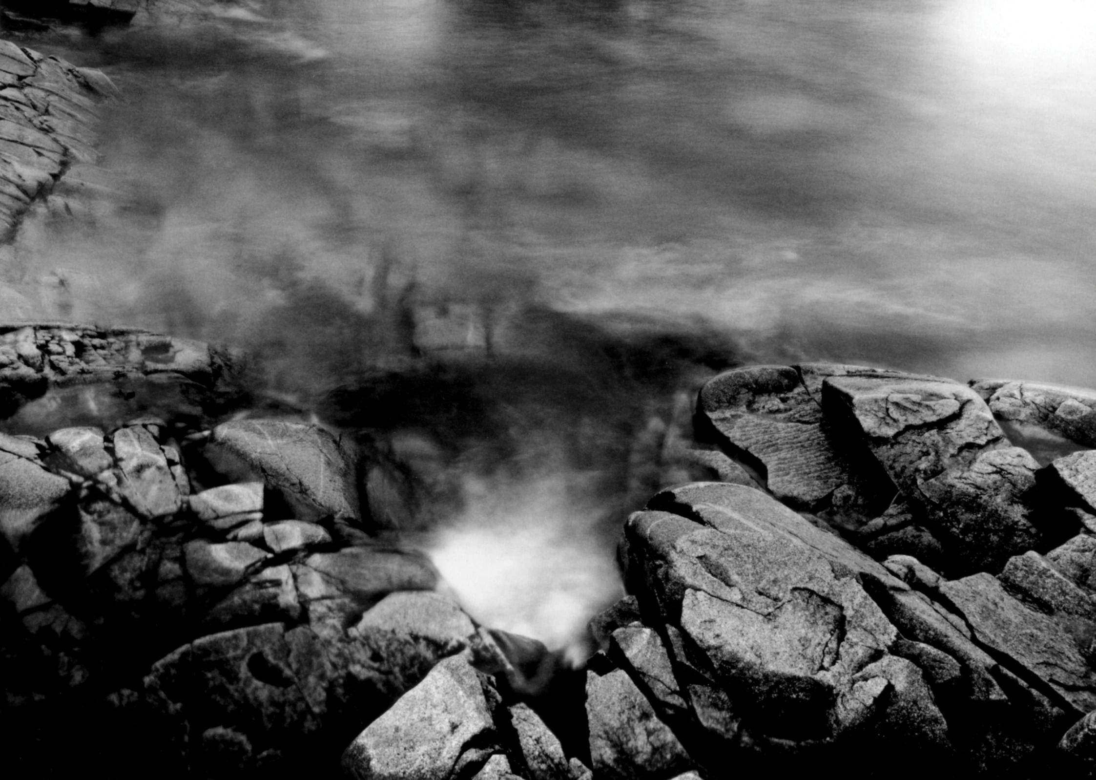
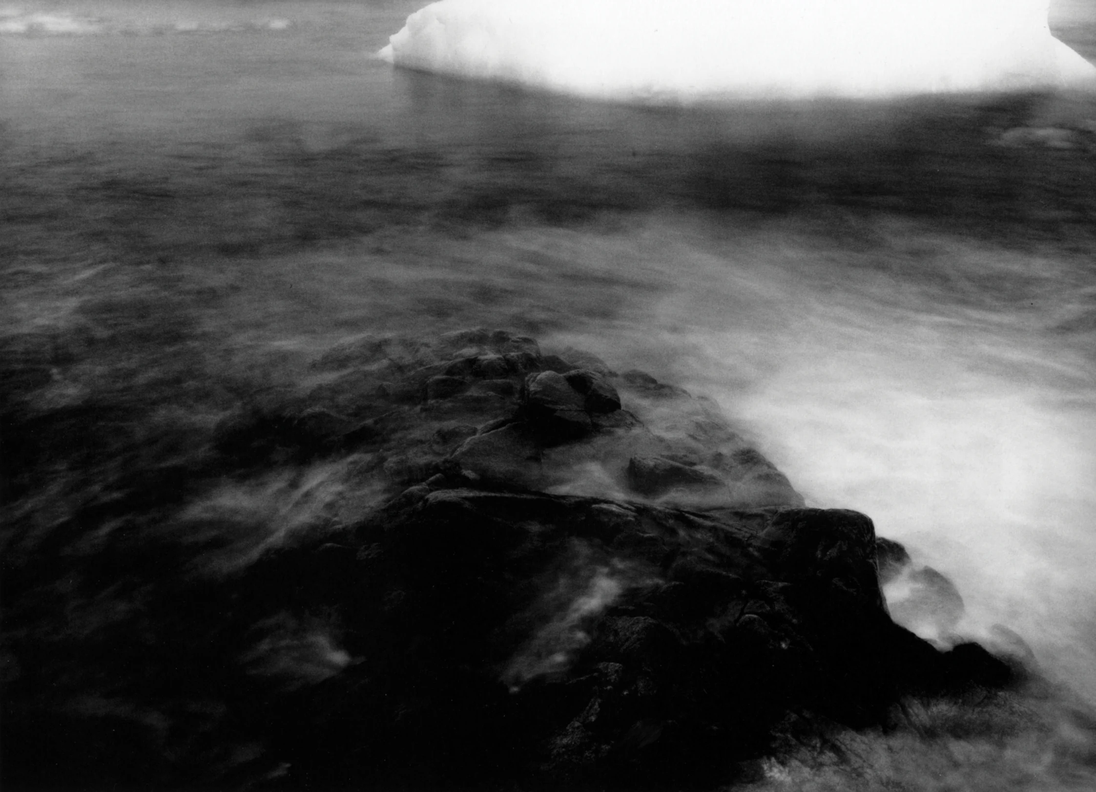
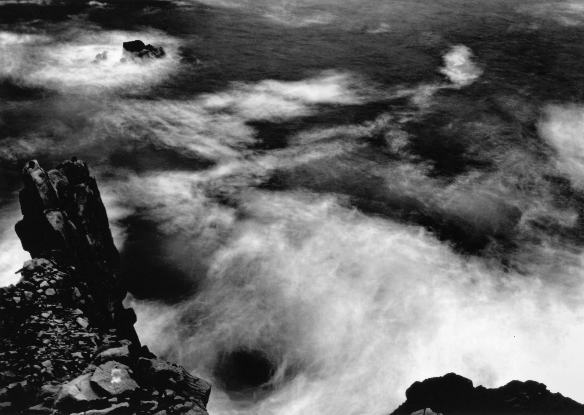
Al rodear los bordes extremos de toda la Cuenca del Atlántico, ocurre un reconocimiento físico de los recursos y del alcance del legado cultural occidental.…

Este artículo es para suscriptores de ARCHIVO

Suscríbete